
The Satellite That Sees Through Smoke to Count the Dead
How NASA and ESA thermal infrared satellites are being used in 2025 to independently verify civilian casualty figures in active conflict zones, a capability that is reshaping humanitarian law and war crimes documentation.
 Watch on YouTube
 Watch on Rumble
A New Kind of Witness Above the Battlefield
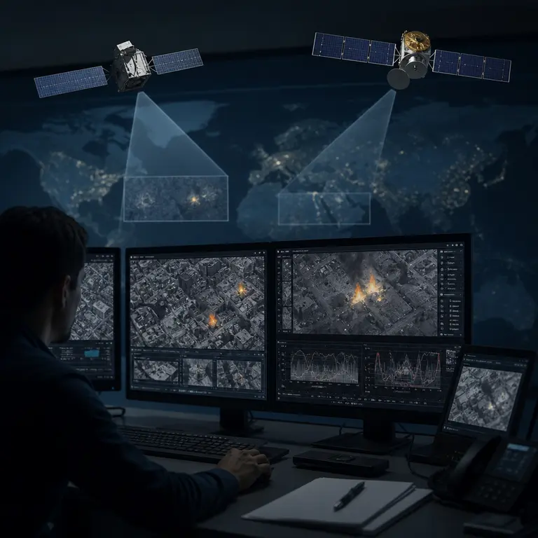
In the spring of 2025, as conflict continued across multiple active war zones from Sudan to Gaza to Myanmar, a quiet revolution in accountability was unfolding 400 miles above the Earth’s surface. Thermal infrared sensors aboard civilian and scientific satellites were doing something that no ground-based journalist, UN monitor, or aid worker could safely accomplish: systematically observing the destruction of populated areas in near real time, building evidentiary records that governments and armed groups could not easily erase or deny.
This is not science fiction, nor is it a classified military capability. The technology is largely built on publicly accessible data from instruments originally designed to track wildfires, measure sea surface temperatures, and monitor agricultural drought. The repurposing of these instruments for conflict documentation represents one of the more unexpected and consequential developments in satellite remote sensing in recent years, and it is only beginning to reshape how the international community understands, records, and responds to mass violence.
What makes this development particularly significant is not just the technical ingenuity involved, but the broader shift in power it represents. For most of recorded history, the ability to document atrocity depended on physical proximity to it. Witnesses could be silenced, journalists expelled, aid workers denied access, and documentary evidence destroyed. The satellite changes that calculus fundamentally. It cannot be turned away at a checkpoint. It cannot be arrested or intimidated. It passes overhead on a fixed orbital schedule, indifferent to the political consequences of what it records, and its data is archived in servers distributed across multiple continents before any government has had time to formulate a response.
The communities of researchers, legal scholars, and humanitarian analysts who are learning to read this data represent a new kind of investigative institution, one that did not exist a decade ago and that is growing faster than the legal and diplomatic frameworks designed to make use of its findings. Understanding how this institution works, what it can and cannot see, and what it might eventually mean for the enforcement of international law requires a close look at the instruments themselves, the methods being developed to interpret them, and the formidable obstacles that remain between satellite observation and genuine accountability.
The Instruments Were Never Built for War
The primary workhorse in this emerging field is the Visible Infrared Imaging Radiometer Suite (VIIRS), which flies aboard the Suomi NPP and NOAA-20 satellites, operated jointly by NASA and NOAA. VIIRS was designed in the early 2000s to replace aging sensors from the MODIS instrument family and to improve global monitoring of fires, vegetation, ocean color, and atmospheric aerosols. Its Day-Night Band, a low-light optical channel sensitive enough to detect the glow of a single gas flare from orbit, was engineered primarily to help meteorologists distinguish cloud types at night.
Researchers at the University of Maryland’s Global Fire Emissions Database project and at NASA’s Goddard Space Flight Center noticed something troubling in VIIRS data as early as 2014 during the initial conflict in eastern Ukraine: the instrument was detecting anomalous thermal signatures in urban areas that did not correspond to any known agricultural burning or industrial activity. The signature of a burning apartment block, it turns out, is spectrally distinct from a forest fire or a gas flare. The sustained, high-temperature combustion of construction materials, furniture, and insulation produces a characteristic thermal plume that VIIRS records with a spatial resolution of 375 meters per pixel.
This spectral distinctiveness is not immediately obvious, but it makes intuitive sense once explained. Forest fires tend to spread laterally and burn at temperatures governed by the moisture content and density of vegetation. Gas flares burn at extremely high, relatively stable temperatures and exhibit a narrow spectral signature. Urban fires, by contrast, involve a chaotic mixture of materials, including concrete, steel, glass, synthetic polymers, wood, and textiles, that burn at varying temperatures and produce a broadband thermal signature with a characteristic temporal profile. The fire starts, intensifies as structural elements collapse and expose new fuel, and then gradually diminishes as the available material is consumed. VIIRS captures multiple passes over any given location each day, and the temporal shape of that curve carries information that trained analysts can read.
By 2022, when Russia launched its full-scale invasion of Ukraine, researchers at the ACLED conflict monitoring organization, the Yale Humanitarian Research Lab, and the independent group led by Corey Scher and Jamon Van Den Hoek at Oregon State University were systematically cross-referencing VIIRS fire detections with geolocated social media reports, Sentinel-1 synthetic aperture radar data from the European Space Agency, and commercial satellite imagery from Planet Labs and Maxar Technologies. The combination allowed analysts to estimate not just where destruction was occurring, but at what rate and with what intensity, even when smoke, cloud cover, or deliberate information suppression made ground-level reporting impossible. Ukraine became, in a grim sense, the proving ground for a methodology that would subsequently be applied to conflicts on multiple continents.
From Fire Detection to Casualty Estimation
The leap from detecting fires to estimating human casualties is not straightforward, and researchers are careful to describe their figures as probabilistic ranges rather than precise counts. The methodology, published in peer-reviewed journals including Remote Sensing of Environment and Nature Human Behavior between 2023 and 2025, typically involves three interconnected steps that together enable analysts to move from raw satellite data to defensible estimates of human impact.
First, analysts use radar backscatter data from ESA’s Sentinel-1 constellation to map building damage at the block level. Synthetic aperture radar penetrates cloud cover and smoke and measures changes in the structural coherence of buildings between passes, which occur every six to twelve days. A coherent building reflects radar energy in a predictable pattern; a collapsed or heavily damaged structure does not. The change in that pattern between two passes is a reliable indicator of structural damage, and when damage is detected across dozens or hundreds of buildings within a short time window, the spatial pattern itself carries information about the nature and likely cause of the destruction.
Second, pre-conflict population density data from WorldPop, a project based at the University of Southampton that produces gridded population estimates at 100-meter resolution, is overlaid on the damage maps to estimate the number of people likely to have been present. This step introduces significant uncertainty because population distributions shift during conflict as residents flee, shelter in place, or are concentrated in specific areas by the dynamics of the fighting. Researchers address this uncertainty by applying sensitivity analyses that model a range of plausible displacement scenarios, producing casualty estimates expressed as ranges rather than point values.
Third, thermal anomaly data from VIIRS are used to time-stamp the destruction events and to identify which areas experienced repeated or sustained burning, a pattern associated with higher casualty rates than single-event structural collapse. An area that burns once and is then abandoned produces a different signature than one that is repeatedly struck over days or weeks, and the distinction matters both for casualty estimation and for the legal question of whether attacks were targeted or indiscriminate.
The results have been striking. In a 2024 analysis of northern Gaza published by researchers at the London School of Hygiene and Tropical Medicine in collaboration with satellite analysts, this combined methodology produced casualty estimates that were statistically consistent with, but methodologically independent of, figures reported by the Gaza Ministry of Health, providing a form of external validation that had not previously existed for conflict mortality data. The study was peer-reviewed and published in The Lancet in July 2024, generating significant discussion in both scientific and diplomatic circles. The significance of that independent validation cannot be overstated: in conflicts where all parties dispute casualty figures for political reasons, an estimate derived from orbital physics and spectral analysis carries a credibility that no ground-based count, however carefully conducted, can fully achieve.
Legal Weight and Diplomatic Resistance
The implications for international humanitarian law are substantial. The Rome Statute, which governs the International Criminal Court, requires that prosecutors demonstrate both that civilian harm occurred and that it was disproportionate to legitimate military objectives. Historically, this evidentiary burden was extremely difficult to meet in active conflict zones where access was restricted. Satellite-derived damage and fire detection data, timestamped, georeferenced, and produced by instruments with no stake in the conflict, offer a form of evidence that is difficult to dismiss as politically motivated.
The ICC’s Office of the Prosecutor has quietly acknowledged the use of satellite imagery in ongoing investigations, though the specific role of thermal infrared fire detection data in evidentiary packages has not been publicly detailed. Several international law scholars, including those at the Geneva Academy of International Humanitarian Law, have argued in working papers published in 2024 and 2025 that satellite-derived damage assessments should be formally recognized as a category of admissible evidence under the ICC’s Rules of Procedure and Evidence. The argument rests on the observation that the data meet the basic standards of reliability, reproducibility, and independence that courts apply to other forms of scientific evidence, and that excluding it on procedural grounds would leave a significant evidentiary resource unused.
Not all governments are receptive. Several states conducting active military operations have lobbied against the formalization of satellite evidence standards at the UN level, arguing that remote sensing data lacks the contextual nuance necessary to distinguish between military and civilian casualties. This is a legitimate technical concern, and researchers acknowledge it openly. The methodology cannot determine the cause of death, distinguish combatants from civilians, or account for population movement before or during an attack. What it can do, with increasing precision, is establish that destruction occurred, when it occurred, and at what scale. In legal terms, that is often sufficient to establish the factual predicate for an investigation, even if it cannot by itself support a conviction.
There is also a subtler form of resistance that operates not through formal diplomatic channels but through the sheer complexity of translating scientific findings into legal arguments. The researchers who produce satellite-derived damage assessments are, for the most part, geographers, remote sensing specialists, and epidemiologists, not lawyers. The lawyers who argue cases before the ICC are, for the most part, not scientists. Building the interpretive bridges between these communities is slow, painstaking work, and it is still very much in progress.
The Future of Remote Accountability
Looking forward, the capability is expanding rapidly. ESA’s Copernicus program is preparing to launch Sentinel-2 Next Generation satellites with improved revisit times and spatial resolution. NASA’s PACE satellite, launched in February 2024, adds hyperspectral ocean and atmosphere data that researchers are already exploring for its potential to detect aerosol signatures associated with large-scale burning events. Commercial operators, including Satellogic and HawkEye 360, are deploying constellations that can provide sub-daily revisit rates over areas of interest, dramatically compressing the time between an event and its detection.
Perhaps most significantly, machine learning models trained on historical conflict-damage datasets can now flag anomalous thermal and radar signatures in near real time, reducing the analysis lag from weeks to hours. A project led by researchers at the Alan Turing Institute in London, in partnership with the UN Satellite Centre UNOSAT, demonstrated in early 2025 that an automated pipeline could detect and classify urban fire events consistent with conflict activity within six hours of a satellite overpass, a timeline that could eventually support real-time humanitarian response rather than only retrospective documentation. The difference between knowing that a neighborhood is burning six hours after the fact and knowing it six weeks after the fact is the difference between a potential intervention and a historical record.
The longer-term implications extend beyond any individual conflict. As the archive of satellite-derived conflict data grows, it becomes possible to conduct comparative analyses across wars, identifying patterns in how different armed groups conduct operations, how destruction propagates through urban environments over time, and how civilian populations respond. This kind of longitudinal, cross-conflict analysis has never been possible before, because the data simply did not exist in a systematic, comparable form. It is now emerging, and the research community is only beginning to understand what can be learned from it.
The satellites were built to watch the Earth breathe, to track its fires and floods and the slow greening of its fields. That they have become, almost incidentally, among the most impartial witnesses to human violence is a development that carries both promise and weight. The data does not mourn. It does not advocate, take sides, or grow tired of looking. But it does not forget, either, and in a world where the erasure of evidence has historically been among the most reliable tools of impunity, that persistence may prove to be among the most consequential technological developments of our time.
Sources & Further Reading
- Van Den Hoek, Jamon, and Corey Scher. 'Satellite-derived conflict damage and fire detection in Ukraine.' Nature Human Behaviour, 2023. https://www.nature.com/articles/s41562-023-01557-9
- Khalek, Rasha et al. 'Estimating the death toll in Gaza using satellite-derived building damage and population data.' The Lancet, 2024. https://www.thelancet.com/journals/lancet/article/PIIS0140-6736(24)01169-3
- UNOSAT / UNITAR. 'Damage Assessment Methodology.' United Nations Institute for Training and Research, 2024. https://unosat.org/methodology
- Global Fire Emissions Database (GFED) / NASA Goddard Space Flight Center. 'VIIRS Active Fire Documentation.' NASA, 2024. https://firms.modaps.eosdis.nasa.gov/